After the success of the post on Using USB GPS on Android, eventually I am
going discuss the obvious - using the USB GPS receiver with your laptop or netbook,
which this kind of GPS receivers were made for in the first place. I say laptop,
because you are not going to go around with a desktop in the outdoors,
otherwise these would work just as fine with any PC.
I am going to describe the
workflow assuming you have a Windows PC, readers with other OSs (Mac or Linux) have
to find out equivalent functions and software on those platforms. Now, first
thing first, making your GPS to work with your PC, and you would want to plug
the GPS in one of the PC's USB ports at this point. For the absolute beginners,
please don't expect a new disk drive to appear in your My Computer like what
happens when you plug in a USB Flash drive or external Hard Disk. Notice that
when you plug in your GPS for the first time, Windows will automatically detect
a new hardware and try to install an appropriate device driver so that it can
communicate with the new device the way it should. In this case the GPS would
appear as a COM port, which would maintain the communication between PC and
GPS. Instead of looking into My Computer you have to look for the new device in
the Control Panel > Device Manager > Ports (COM & LPT).
If Windows was successful in
finding the appropriate driver, you would see a new serial (COM) port listed
here. However, if Windows was unsuccessful, you would still see an unrecognized
device marked with that infamous yellow exclamation sign, which means you have to
supply (install) a device driver for your GPS. The driver CD may already have
come with your GPS or you may have to download it from the supplier/manufacturer's
website. One of the most common hardware that comes built-in with this types of
GPSs is a small chip called PL-2303, which functions as a bridge between USB on
the PC side and Serial Port on the GPS side. The device driver, therefore, you
are looking for is a Prolific PL-2303 driver (other OS users may also benefit
from this information). If it is not a PL-2303 on your GPS, you have to find out
which USB-to-Serial hardware is used in your GPS, and download a generic device
driver for that hardware from anywhere on the Internet. Once you install the driver
from CD or download (or upgrade driver from Device Manager) the exclamation
sign would go away, which would mean your GPS is now ready to communicate with
PC. Remember the COM port number shown in the Device Manager list (in my case
it is COM port 7, as shown in Figure 1).

Figure 1.
After having completed this preparatory
step, fortunately which you have to do only the first time, the real communication
with GPS might begin now. And this part involves a small software, which will
allow you to see what the GPS is doing once connected, and what kind of data it is
sending to your computer. If you are using Windows XP you already have a small
software called Hyper Terminal; for Windows 7 or 8 download any free terminal
emulator software. In this example I am using a nice little once called TeraTerm (you are free to use the terminal program of your choice). Unzip
the downloaded file, and run TeraTerm by double clicking the ttermpro.exe
executable file. As shown in Figure 2, select "Serial" as your preferred
communication method, and select the COM port number to which your GPS is
connected, in my case COM7. After clicking OK you may get something like what
appears in Figure 3.
.png)
Figure 2.
.png)
Figure 3.
Now, this is not what you'd probably
expected. You instead may be seeing something different, like in Figure 5; if
so, you don't have to follow the next step. In either case, your GPS is sending
data to your computer, it's just the difference how the data is being received.
If you are in Figure 3 situation, that would mean your software is trying
to receive data at a speed different than what the GPS is set up to send it. So,
from the "Setup" menu, click "Serial port....", and change
the Baud rate (speed) to what your GPS's manual suggests (in my case 4800 instead of the TeraTerm default 9600), as
shown in Figure 4. If you are correct, you get this data stream as
shown in Figure 5.
%2Ba.png)
Figure 4.
.png)
Figure 5.
Most likely this is still not what
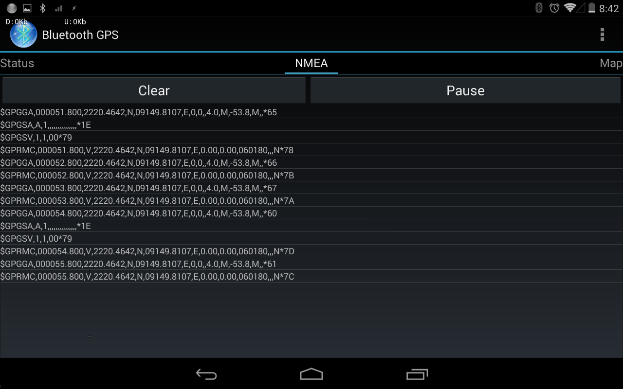
you were hoping for. What you get here are called NMEA sentences. Most GPS receivers
are configured to continuously send
these NMEA sentences at predefined interval (usually 1-2 sec) to whatever display/data
terminal it is connected to. So, you are getting perfectly usual staff. These NMEA
sentences carry all the information you would ever want from a GPS. At this
point, however, you would require another piece of software to interpret this bizarre
looking data into nicely formatted information on the satellites visible on
your sky, their PRN numbers, satellite that are being used by your receiver, your
location, your speed and direction if you are moving, GPS accuracy of your
location (fix), date & time and a variety of other useful staff. This group
of software is generally known as NMEA parser.
In the second part of this
tutorial I shall recommend some beautiful GPS software, and show how to
use and get the most out of them.
You might be wondering, what
about the Bluetooth GPS receivers that I promised in the title. Well, that's
simple, when you pair a bluetooth GPS with your PC, you get a COM port over
bluetooth. Use that port the same way.